Mapping public transport walkability and access in Victoria
07 September 2026
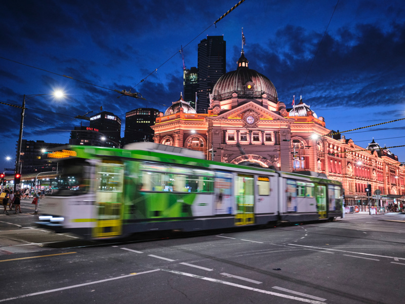
Public transport remains a key policy area for state governments, including in Victoria. Public transport has recently attracted increased attention. Rising living costs in 2026—amplified by conflict in the Middle East—have increased private transport costs for commuters. The Victorian Government responded by granting greater concessions for rail, (most) buses and tram use.
However, these policies are limited by the state’s public transport system. Using one criterion, walkability for most users and access to services vary considerably across the state. Less ambulatory members of the public face additional obstacles and are the subject of specific policies and ongoing research to enhance access.
This report complements a range of resources that explain the overall picture of public transport and service provision across all 88 Victorian Legislative Assembly electoral districts. These include the following:
- Maps of the state and metropolitan Melbourne outlining the extent of service provision across the main branches of public transport
- Online and downloadable maps of each state electoral district with estimates of public transport services’ walkability, using a simplified model of walkability
- An online dashboard summarising levels of walkability and providing access to these resources, available here.
The report also provides some background and observations on the type and extent of coverage and walkability across different public transport services.
Download paper